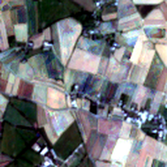
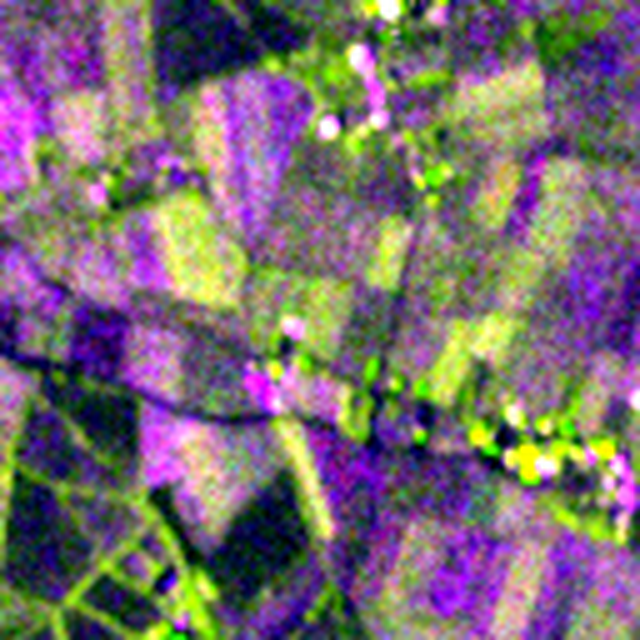
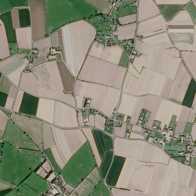
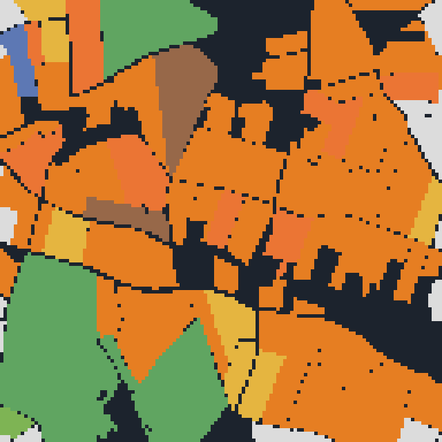
Earth observation
Super-resolution, restoration and segmentation of Sentinel-1 SAR and Sentinel-2 multispectral imagery, including temporal and cloud-aware modelling.
AI / Machine Learning Engineer
I build and optimise production deep-learning systems: computer vision, geospatial machine learning, and distributed training on NVIDIA DGX, A100 and H100 clusters.
Super-resolution, restoration and segmentation of Sentinel-1 SAR and Sentinel-2 multispectral imagery, including temporal and cloud-aware modelling.
PyTorch DDP and NCCL across multi-node A100 and H100 clusters, with mixed precision, activation checkpointing and sharded data loaders.
Structured pruning, INT8 and FP16 quantisation, ONNX export and TensorRT engine tuning, profiled with Nsight Systems and Compute.
Low-power computer vision on NVIDIA Jetson-class hardware for autonomous platforms, with embedded C++ and custom CUDA kernels.
Commercial work. Source is private; described by capability and stack.
Latent-diffusion super-resolution for four-band Sentinel-2 imagery, with 2.5 m and approximately 1.67 m release profiles, served through a tiled inference API.
Multispectral ingestion and plume-detection pipeline serving GeoJSON and COG endpoints, with GeoServer WMS temporal visualisation behind a map viewer.
Multimodal, multitemporal remote-sensing model for crop segmentation and classification, with conceptual lineage from MAESTRO.
Sentinel-1 PSI/SBAS rolling pipeline following the DISP-S1 pattern, producing per-cycle ground-motion products over regional areas of interest.
Temporal Fusion Transformer producing 240-hour water-level forecasts, served through GPU and CPU inference backends with a dashboard front end.
iOS LiDAR depth pipeline for physical measurement: point-cloud processing, geometric calibration and uncertainty estimation with approximately 1 mm end-to-end measurement accuracy.
Public repositories. Star counts refresh live from the GitHub API.
Jetson-accelerated visual navigation for drones and ground vehicles using TrailNet, stereo depth estimation, ROS and PX4 control.
PyTorch U-TAE model for binary water and land segmentation from Sentinel-1 and Sentinel-2 imagery using the IBM Granite flood dataset.
Real-time webcam object detection with OpenCV DNN and a pre-trained MobileNet SSD model in Caffe format.
PyTorch CNN for classifying EuroSAT RGB image patches into ten land-cover classes.
Airbus satellite-image sample dataset with aircraft annotations and a YOLOv5 detection experiment.
AirSim-based code for camera-driven UAV navigation experiments using reinforcement learning.
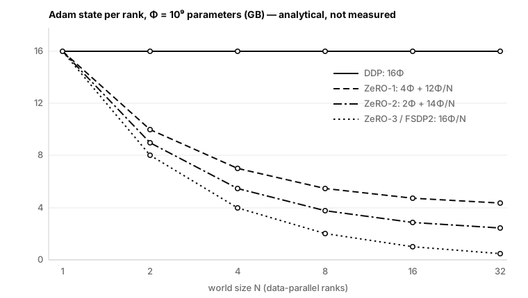
Memory, communication and topology budgets for DDP, FSDP2, ZeRO, tensor and pipeline parallelism — validated before any pod is scheduled, with a RAPIDS data plane and three interchangeable Kubernetes backends.
An engineering audit of NVIDIA’s Redtail autonomy stack — TrailNet orientation estimation, stereo depth networks and PX4/MAVROS control — preserved as a verifiable snapshot with a 2026 modernization blueprint.
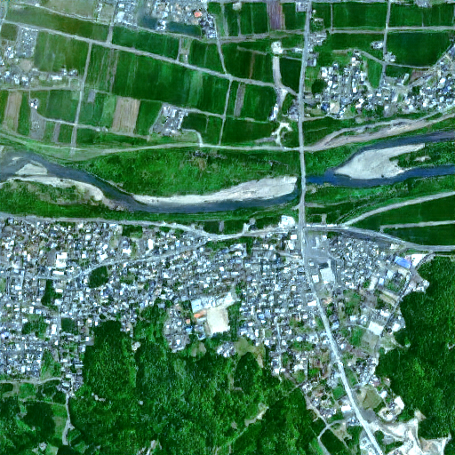
A scientific audit of observation consistency, spectral drift, learned high-frequency detail and stochastic spread in a Sentinel-2 latent-diffusion release.
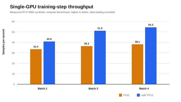
A measurement-driven study of mixed precision, batch scaling, memory pressure and the evidence required for defensible DDP speedup claims.
A rigorous account of a compact multimodal temporal model that combines Sentinel-1 and Sentinel-2 for crop segmentation, parcel-boundary estimation and model-derived detail on a 1 m storage grid.
NextAV · Geospatial AI
AtriaGem · Luxury Tech
Startupbootcamp · Accelerator
AVIONAV · Ultralight Aircraft
Few-shot ViT with temporal token reduction and spectral embeddings; 94.2% macro accuracy using less than 15% of the labels.
Cross-scale attention with a spectral-consistency loss for 10 m to 1.5 m reconstruction, with TensorRT-optimised inference.
Upstream proposals on editable installs, CMake prefix resolution and Ninja discovery in active Python environments, plus issue reports on CUDA autograd behaviour.
Corrections to affected version ranges and package metadata for published security advisories.
Applied AI and geomatics curriculum for remote sensing and spatial analytics.
Precision-agriculture AI: spectral analytics, time-series modelling and yield prediction.
Remote instruction to more than 200 students per year on geospatial modelling and agritech.
Open to selective consulting and engineering work in geospatial machine learning, model optimisation and GPU infrastructure.